Poway, California, March 2013
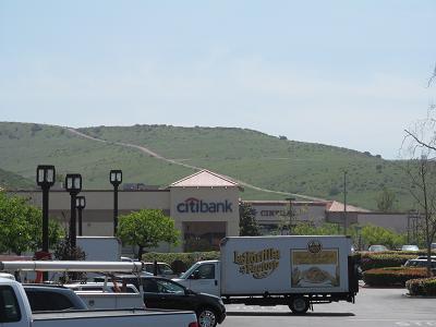
Mar 26 - South Poway TrailAs we have been driving around, we have observed a small mountain south of our hotel, with trails on it. There was no reference to these trails in our California Hiking book. So we figured that they were unofficial trails. For example, this is what we can see from the parking lot where we bought groceries:
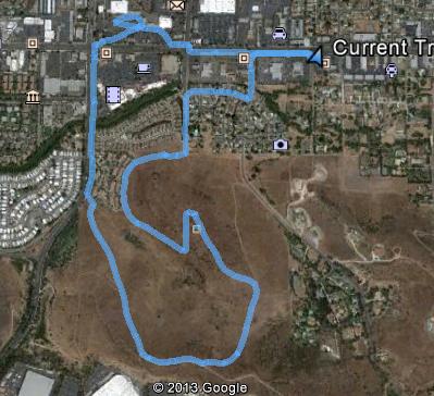
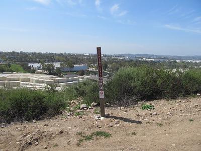
We had driven around, trying to find an access point. We succeeded, but we also came across a neighbourhood with signs indicating that we were not welcome, and one of the dirt roads up the hill had a Private Property sign on it. Anyway, today we went to one of the access points, and started exploring. Eventually, we got to the top of the mountain, where we FINALLY found a trail sign, indicating that we were on the South Poway Trail. Woo-hoo!! Here is the Google Earth view of our trek:
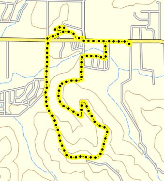
This is from my mapping software:
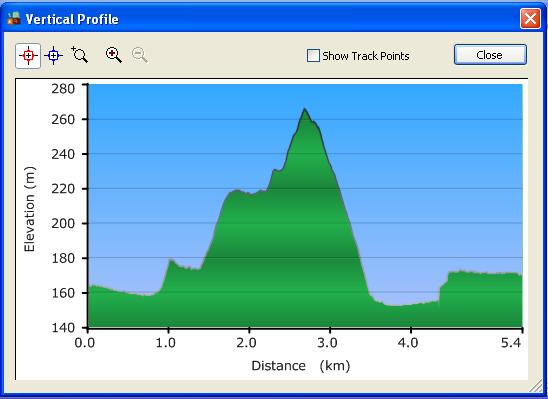
And this shows both our walking distance and the elevation profile, which is, to say the least, somewhat exaggerated!
|
|
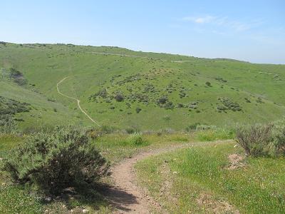
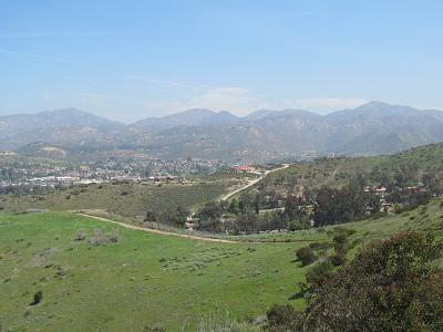
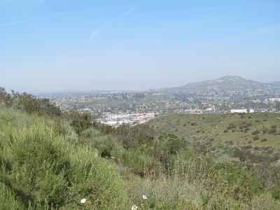
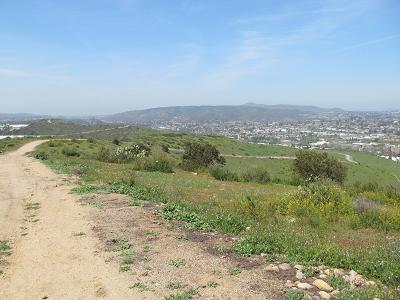
And here are some photos of our hike.
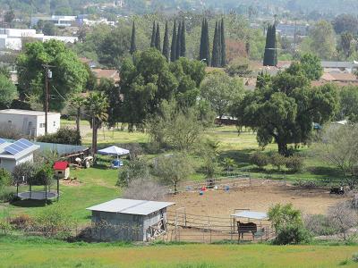
First, we saw this little farm yard - it's about 2 blocks off the main drag!
We saw a bunch of huge prickly pear cacti. Stephen's presence indicates the size of this plant!
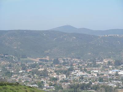
Off in the distance, to the west, we could see the towers atop Black Mountain, which we were somewhat close to yesterday.
Here's the signpost, which we only saw when we were at the top of our hike.
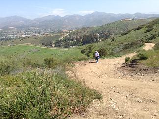
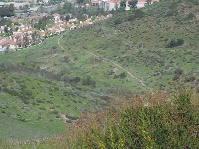
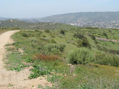
Some general views of the trail. First, the plodder:
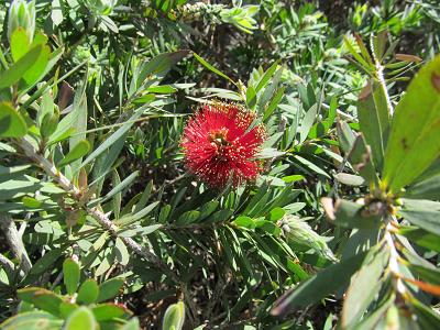
A pretty red flower.
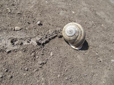
And a bit of fauna. This was perhaps the size of a toonie.
|
|
After the hike, we went to the nearby shopping center for lunch. Then back to the hotel, where we sat and relaxed by the hotel pool. Tomorrow's activities have not yet been planned. But Stephen is investigating the South Poway Trail, which appears to be quite lengthy - and interesting! |