Santa Rosa Plateau 4, California
February 3, 2014
Today, yet again, we went back to the Santa Rosa Plateau Ecological Reserve.
We really like this place. One of the real benefits is that much of it is a hikers-only area - no dogs, no bikes, no horses! (Chino Hills, where we were yesterday, is also a no-dog place.) Contrast this to Nose Hill, where going for a walk is just inviting some uncontrolled canine to accost the walker or leave droppings for the walker to try to avoid. We seldom go on Nose Hill any more
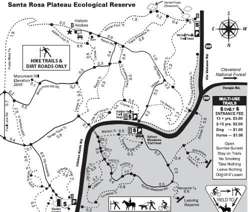
As noted previously, this is the Santa Rosa Plateau map, with North being down. Notice how horses and dogs and bikes are restricted to the lower right-hand shaded area, while us purist hikers get the rest to enjoy in peace!
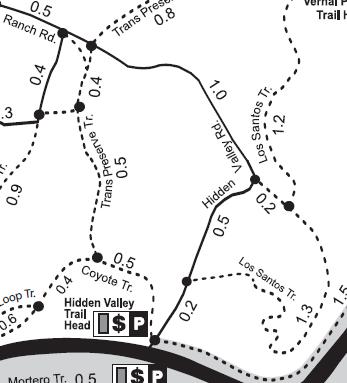
Today, we parked at the Hidden Valley Trail Head (in the middle of the map).
Our plan was for a short walk, along Coyote and Transpreserve, and coming back to the car by Hidden Valley. But we also noted that Los Santos trail, looping to the right of the Hidden Valley trail.
In the end, Stephen did the Los Santos trail, at his speed, while I just continued at my speed towards the car.
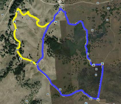
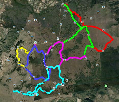
Here is the Google Earth view of our walk (with North being up). The parking lot is at the center top. My track is blue. Stephen's is yellow. You can sort of see Stephen's yellow under my blue except for the part where he took off on the Los Santos trail.
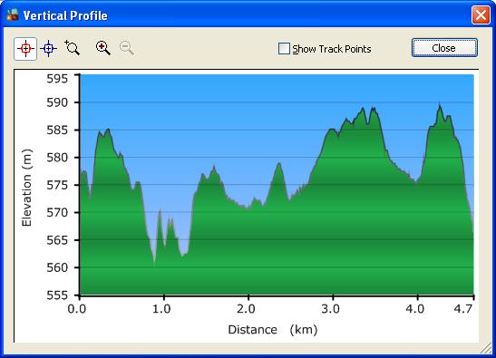
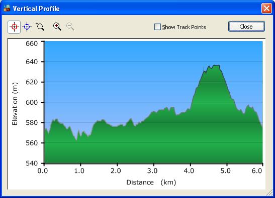
Here is my elevation profile.
And Stephen's
So you can see that this was one of our shorter walks. I did 4.7 kms, and he did 6. And that was good enough for me!
By the way, you might find this Google Earth shot interesting - it shows all of our tracks in this park for the past week. Some overlaps, but there are still trails that we haven't done yet!
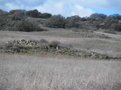
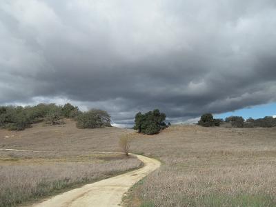
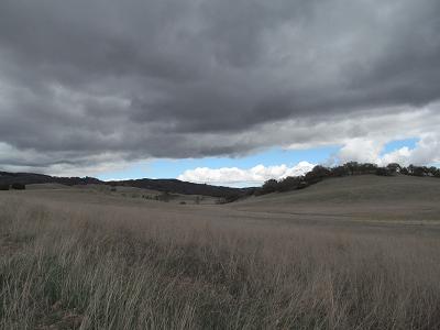
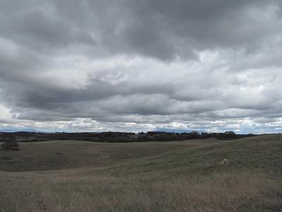
Some of the typical views - hills and trees and rocks.
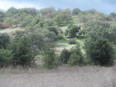
But this one is showing some real green on the ground in places. Woo-hoo!
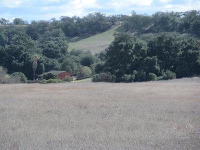
Off in the distance, we could see the barn by the adobe houses we went to a few days ago.
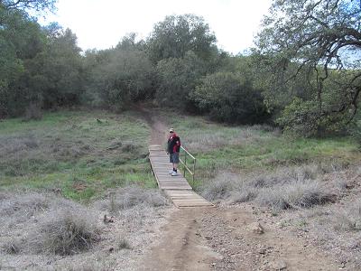
Stephen crossing a bridge - nope, no water under it yet!
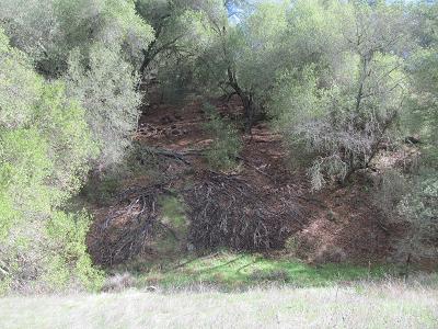
This puzzled us a bit - huge trees with exposed roots - lots of them!
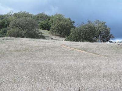
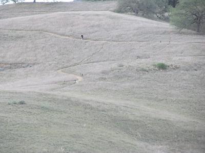
This is the hill that the fellow told me the other day was really steep. You can judge for yourself - the trail is visible. Sure doesn't look steep to me!
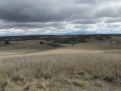
As we were walking, we keep looking at those ominous clouds. Would we get rained on? Or are they just teasing the drought-stricken Californians? We got back to the car dry!
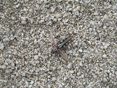
Some wildlife - this bug is about an inch long. Really blends in with the road.
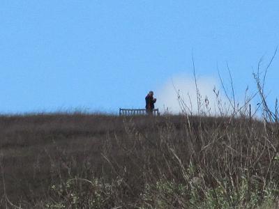
The Los Santos trail that Stephen took had a real climb to a super viewpoint at the top. This is his photo of me. I think that I am somewhere on the trail in the center of the photo. But I wouldn't bet a whole lot of money on it!
On the other hand, the zoom feature of my camera worked reasonably well. This is Stephen at that viewpoint.
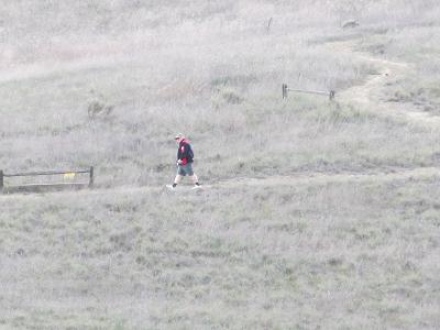
And coming back down the hill.
And continuing to come back down the hill.
We got back to the car about the same time.
Prev Next
Santa Rosa Plateau Ecological Reserve, fourth Visit
Now for some photos. One thing that we noted today was that the park seemed just a smidge greener than on our previous treks. Might have something to do with the overnight rain!

As has been the habit lately, today started out quite chilly - close to freezing. By the time we got to the trailheads, the temperature had risen all the way to about 10 C. Brave Stephen decided to switch to shorts, but he kept his sweatshirt on. He took it off for a while when the sun was beating down on us. But those clouds soon hid the sun, and it got cool again, so the sweatshirt went back on.