San Juan Loop Trail, California
January 30, 2014
Last night, Stephen's research uncovered a relatively easy trail not too far from the hotel (about a half hour's drive) in the Cleveland National Forest. So today, we decided to go for it.
You may recall those sunset photos that I posted yesterday. Well, the sun was setting on the other side of the mountains against which the city of Lake Elsinore abuts. And that's where the trail is - the other side of the mountains.
We had noticed a highway snaking up those mountains earlier. And today we got to drive it.
It reminded me of the Kicking Horse Pass of a few decades ago, long before they did any widening and straightening!
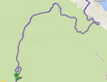
First, I'm going to show you a Google Maps view of the portion of the Ortega Highway that we took. All those really tight loops have quite a bit of elevation change associated with them.
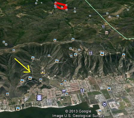
And here is a Google Earth view of the Ortega Highway, slanted and pointing towards the mountains. The yellow arrow points to the highway. You can see it climbing the mountains. (The red blob in the back is our track for today - more on that later.)
Fortunately, there are a number of turnouts on the highway, as well as lots of signs telling slow drivers to use those turnouts to let others pass.
All in all, a cool drive!
Speaking of cool, today was definitely cool. Yesterday we were basking in high 20's (Celsius); today we were shivering in mid teens.
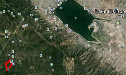
This first Google Earth view shows where we were relative to beautiful Lake Elsinore - not too far at all.
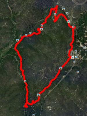
This Google Earth shot shows our track.
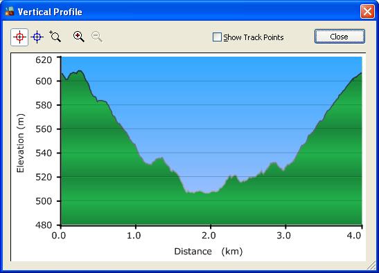
And this shows our elevation profile for our 4 km walk.
Of significance is that it's a down-and-up hike. And the downhill part, starting from the official trailhead, is really unpleasant for one with knees like mine - horribly rocky. For normal people, this is a one-hour hike. For me, it was a two-hour hike - and the first hour was taken up just getting to the bottom.
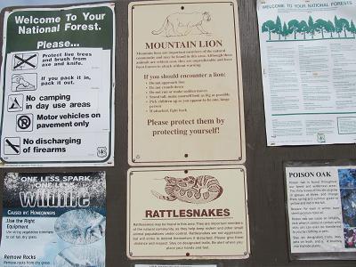
The first thing that you see at the trailhead is this warning sign: mountain lions, rattlesnakes, AND poison oak. Makes you wonder why you're heading out at all, doesn't it? But Stephen advised me that poison oak likes moisture, and we're in a drought here, so not to worry. And the rattlesnakes will be hibernating. That leaves only the mountain lions...
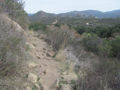
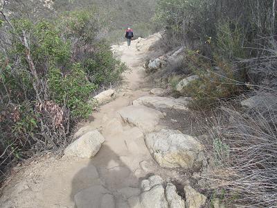
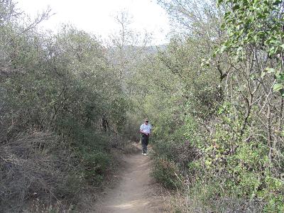
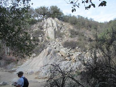
Shots of the trail.
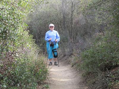
I was here.
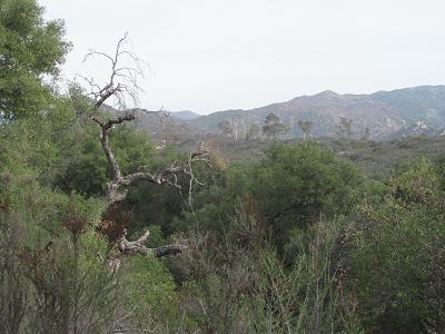
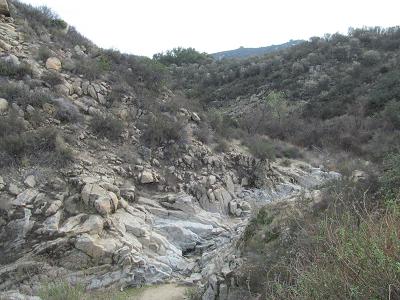
The basic scenery - it's a forest.
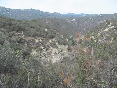
With rocks.
There is supposed to be a river running through this area.
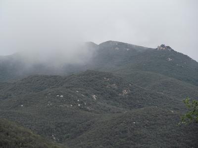
It was kind of neat to see the cloud low on the mountain.
As we were driving back to the hotel, we actually got rained on - not enough to need to turn the wipers on, but there were actual raindrops on the windshield.
Prev Next
Getting there
San Juan Loop Trail - the hike
The Photos
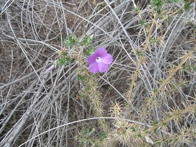
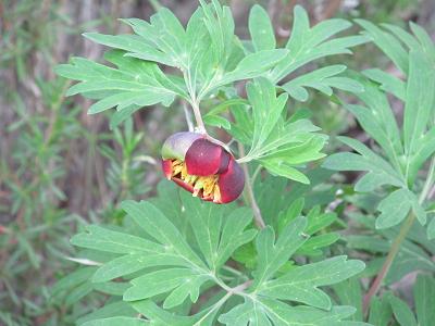
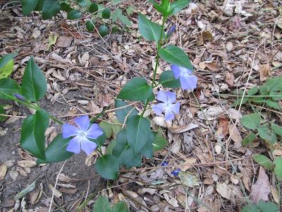
Flowers
We had lunch at a sandwich shop across the road from the trailhead parking lot. And then headed back to the hotel. It was quite chilly outside - low teens Celsius - so we're hibernating a bit this afternoon.